Start preparing for hurricane season
Every year around this time, we become more acutely aware of our vulnerability during hurricane season, which runs from approximately June through November in Hawaii. We check our hurricane kits and restock what’s necessary.
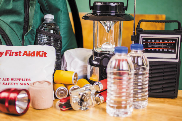
After some increased activity in 2018, many of us already know the essentials that belong in those kits. This year, the National Oceanic and Atmospheric Administration (NOAA) has announced that there is a 70 percent chance for above-normal activity in this region.
If last year has taught us anything, it is that when inclement weather is on its way, we do what we can to prepare and then settle in for the waiting game. During this time, information and misinformation abound. Plan ahead and keep a list of resources you can turn to before, during and after the storm.
Be alert
Hawaii.gov offers more than 24 statewide alerts for everything from disasters to lane closures and water advisories. Visit portal.ehawaii.gov/page/alerts/ to view the various alerts and to find out more about how you can sign up to receive the ones you want.
Track the storm
NOAA’s Central Pacific Hurricane Center monitors weather conditions continuously and publishes the information immediately. News sources report the findings, but if you want to keep an eye on the activity as it develops, go straight to the source.
Mobile application: NOAA Weather Radar Live Website: nhc.noaa.gov/?cpac
Tune in
The City and County of Honolulu notifies residents of emergencies using local TV and radio Emergency Alert System (EAS) notifications, the outdoor warning siren system, public address systems and HNL. info. If tuning in on your radio, Honolulu.gov lists the following stations included in the EAS, although the stations are not limited to these:
KSSK AM 590 / FM 92.3
KZOO AM 1210 (Japanese language station)
KREA AM 1540 (Korean language station)
KNDI AM 1270 (Multi-cultural language station to include: Ilocano, Tagalog, Hispanic, Cantonese, Mandarin, Laotian, Okinawan, Vietnamese, Samoan, Tongan, Marshallese, Chuukese, Pohnpeian and English)
Know what to do and where to go
Both the American Red Cross and the Federal Emergency Management Agency (FEMA) have mobile applications that include handy information such as what to do in various emergency situations and where to go for your nearest shelter. The Department of Emergency Management also has an interactive map of potential Oahu Hurricane Evacuation shelters. The URL is long, so I have shortened it for easy reference: tinyurl.com/oahu-shelter
Have a comment or question for Joanne? Email thefi xisinhawaii@gmail.com.